
07 3396 9988
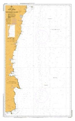
Cape Howe to Montague Island
SKU:
AUS806 Category:
$0.00
Description:
AUSTRALIA CHART 806 - Cape Howe to Montague Island
Chart Number Aus806
Title Australia East Coast - New South Wales - Cape Howe to Montague Island
Geog Location Australia
North Lat 36 13.90 S
South Lat 37 35.40 S
East Long 150 48.60 E
West Long 149 49.20 E
Scale 1:150000
Projection mercator
Pub Date 01-Oct-1956
Edition Date 21-Nov-2008
Additional Info:
AUSTRALIA CHART 806 - Cape Howe to Montague Island
Delivery: approx 3 working days